Photo credits
108 photos and where each one comes from. The pictures of the areas are of the Greater Toronto Area; the picture for each kind of place is an illustration from Wikimedia Commons. None shows a child, and none is a picture of a listed place; the CN Tower only stands in the Toronto skyline. An author can have any photo removed with one email.
Home page and regions
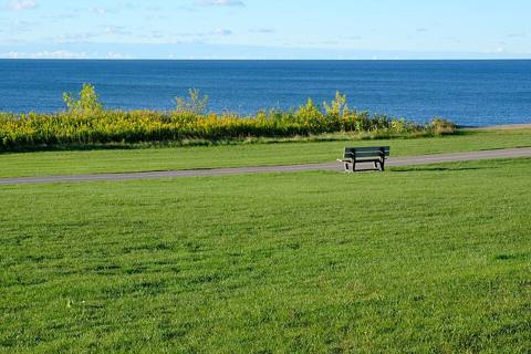 Ajax Waterfront (185103165)Peter Balcerzak · CC BY-SA 3.0
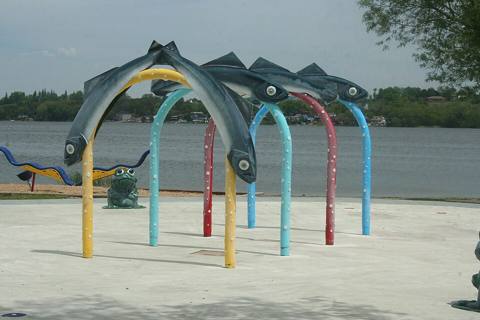 Fishy playground toys overlooking Port Perry HarbourRobert Taylor from Stirling, ON, Canada · CC BY 2.0
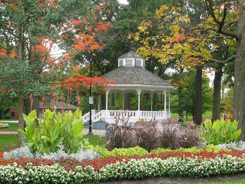 GAGE PARK FALL BEAUTY OCT 09Keith Roy Miller · Public domain
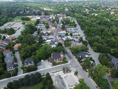 Main Street-UnionvilleNath87 · CC0
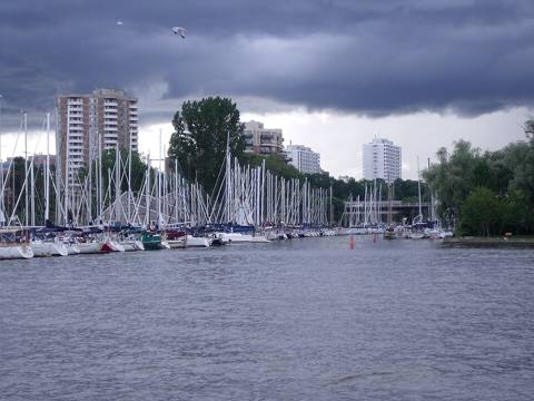 Oakville Harbour June 2009Ibagli · Public domain
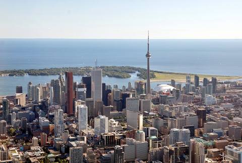 Toronto - ON - Toronto Skyline2Taxiarchos228 · CC BY-SA 3.0
Categories
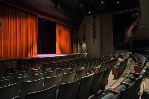 Algonquin Theatre (31200378855)Huntsville Ontario · CC BY 2.0
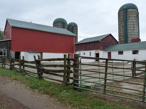 Barn et al, Pucks Farm (3985719196)Roger Ahlbrand from Toronto, Canada · CC BY 2.0
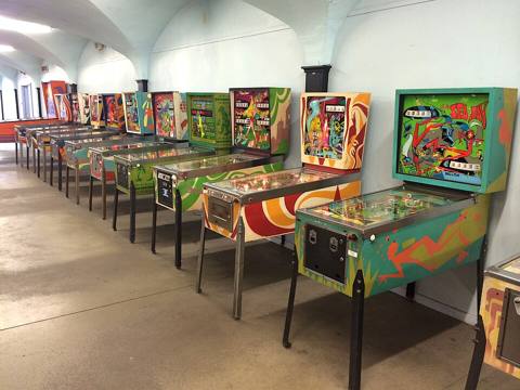 Cedar Point Pinball Machines (14847892452)Sam Howzit · CC BY 2.0
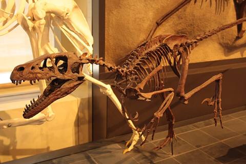 Dromaeosaurus in Canadian Museum of Natureshankar s. · CC BY 2.0
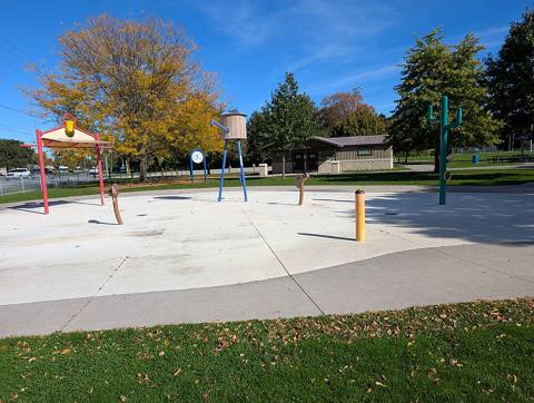 Kiwanis Centre 5Hannah Clover · CC BY 4.0
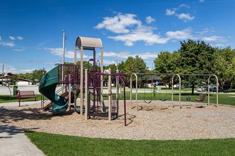 Playground equipment outside Tilbury Arena, Tilbury, Ontario, 2026-09-07 02Chris Woodrich · CC BY-SA 4.0
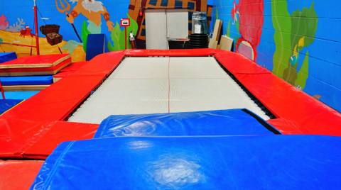 Trampoline - panoramioJiaqian AirplaneFan · CC BY 3.0
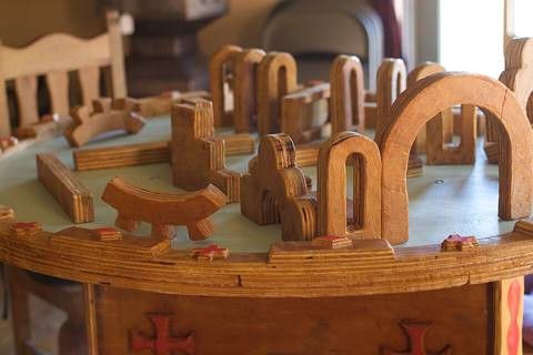 What More Do You Need to Play With than Wooden Blocks? (4881765204)Alan Levine from Strawberry, United States · CC BY 2.0
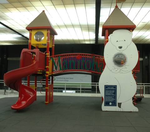 YWGoldterminalplayareaSamuell · CC BY 3.0
Businesses — Wikimedia Commons
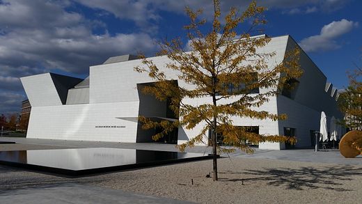 Aga Khan MuseumJohnOyston · CC BY-SA 4.0
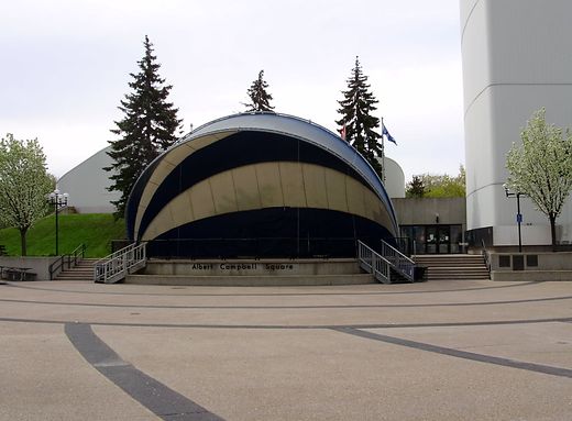 Albert Campbell SquareGTD Aquitaine · Public domain
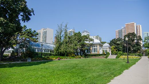 Allan GardensJeff Hitchcock from Seattle, WA, USA · CC BY 2.0
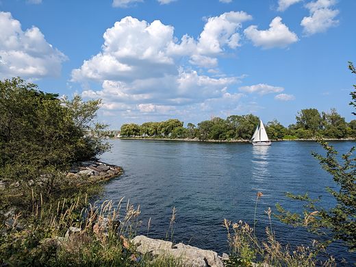 Amos Waites ParkMakeworldpedia · CC BY-SA 4.0
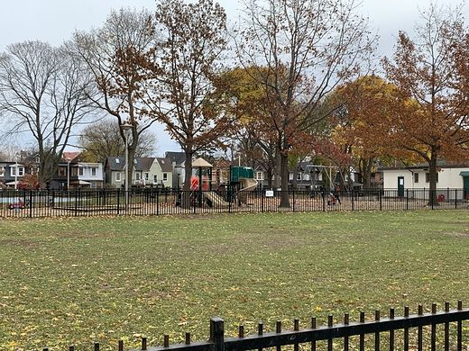 Baird ParkZipZapz · CC BY-SA 4.0
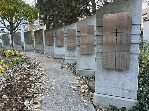 Barbara Hall ParkAnother Believer · CC BY-SA 4.0
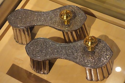 Bata Shoe MuseumDaderot · CC0
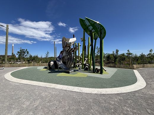 Biidaasige ParkCanmenwalker · CC BY 4.0
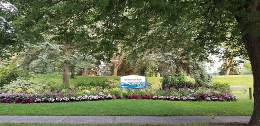 Bridlewood ParkSilver Dovelet · CC BY-SA 4.0
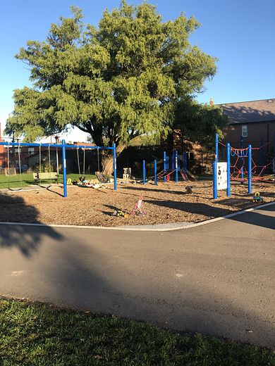 Bristol Avenue Parkette WestSeashell16 · CC BY-SA 4.0
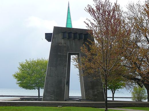 Budapest ParkSteve Harris from Toronto, Canada · CC BY-SA 2.0
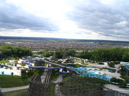 Canada's WonderlandLoozrboy · CC BY-SA 2.0
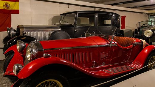 Canadian Automotive MuseumEvan Delshaw · CC BY 2.0
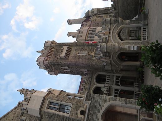 Casa LomaKen Lund from Reno, Nevada, USA · CC BY-SA 2.0
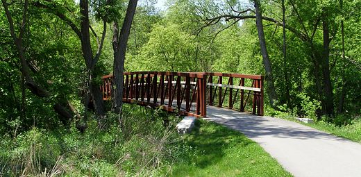 Clarinda ParkAlaney2k · CC BY-SA 3.0
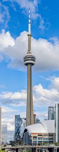 CN TowerChris Woodrich · CC BY-SA 4.0
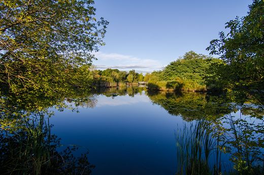 Colonel Samuel Smith ParkJeff Hitchcock from Seattle, WA, USA · CC BY 2.0
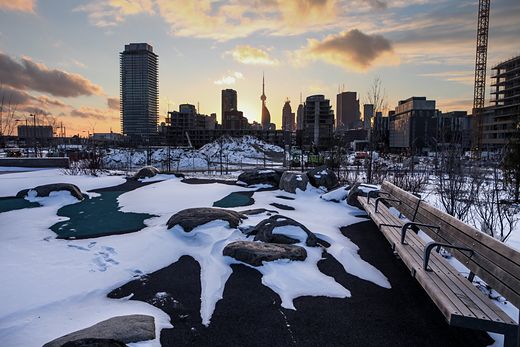 Corktown CommonRick Harris from Toronto, Ontario, Canada · CC BY-SA 2.0
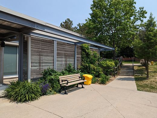 Cummer ParkSikander Iqbal · CC BY-SA 4.0
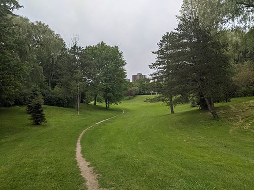 Dallington ParkSikander Iqbal · CC BY-SA 4.0
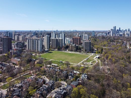 David A. Balfour ParkCanmenwalker · CC BY 4.0
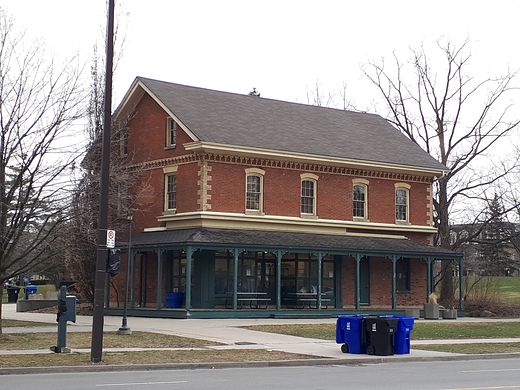 Dempsey ParkOaktree b · CC BY-SA 4.0
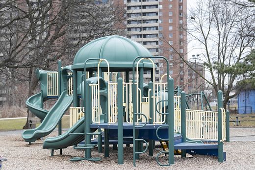 Dentonia ParkFabian Roudra Baroi · CC BY-SA 4.0
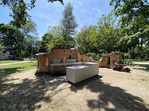 Dufferin Grove ParkCanmenwalker · CC BY 4.0
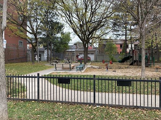 Dundas - Watkinson ParketteZipZapz · CC BY-SA 4.0
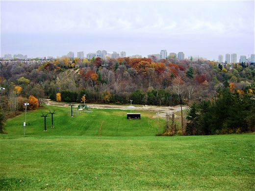 Earl Bales ParkMhsheikholeslami · CC BY-SA 4.0
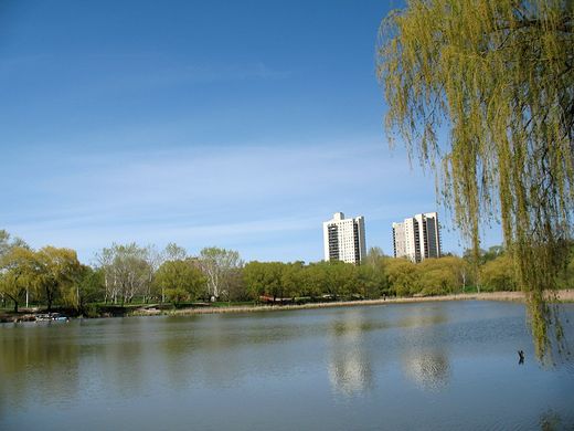 Eglinton FlatsJamie from Toronto, ON · CC BY 2.0
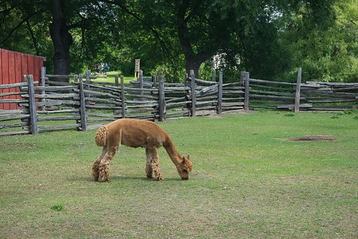 Far Enough FarmChicken4War · CC BY-SA 4.0
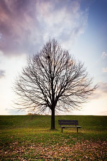 Farquharson ParkBenson Kua from Toronto, Canada · CC BY-SA 2.0
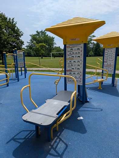 Godstone ParkAmakuha · CC BY 4.0
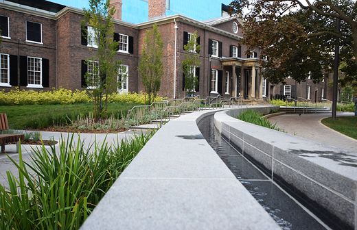 Grange ParkMark · CC BY 2.0
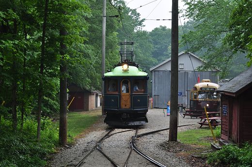 Halton County Radial RailwayMatt Clare from Burlington, Canada · CC BY-SA 2.0
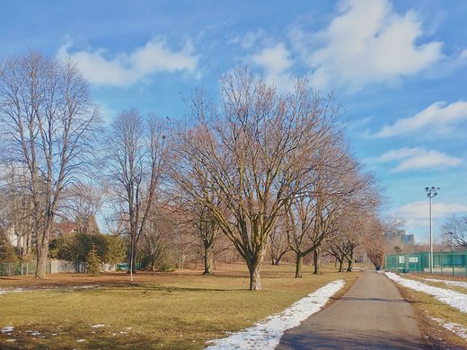 Havenbrook ParkThe Cosmonaut · CC BY-SA 2.5 ca
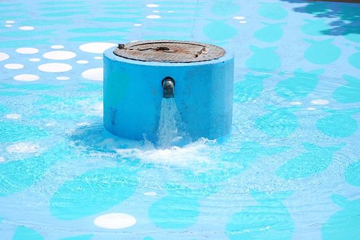 Healey Willan ParkTim Hutton · CC BY 2.0
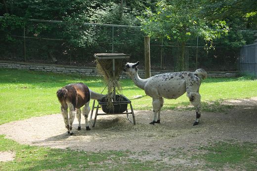 High ParkChicken4War · CC BY-SA 4.0
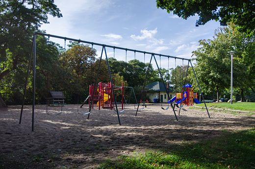 Hillcrest ParkJeff Hitchcock from Seattle, WA, USA · CC BY 2.0
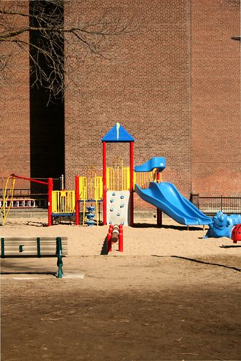 Huron - Washington ParketteJakob von Raumer · CC BY 3.0
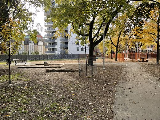 Huron Street PlaygroundLLWLBAC · CC BY-SA 4.0
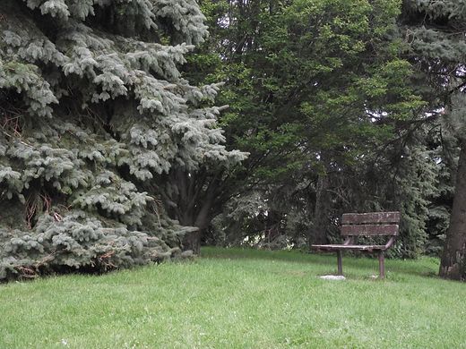 Iroquois ParkJason Zhang · CC BY-SA 3.0
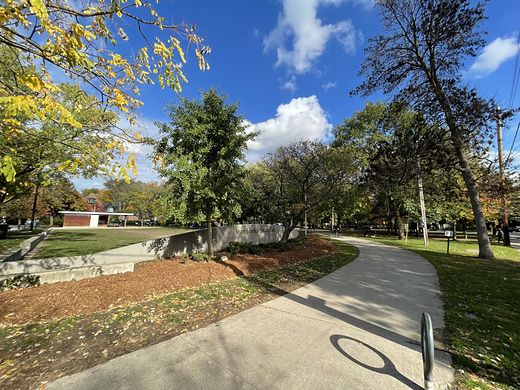 Jean Sibelius SquareLLWLBAC · CC BY-SA 4.0
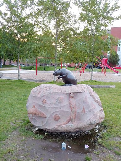 Joel Weeks ParkSeazzy · CC BY-SA 4.0
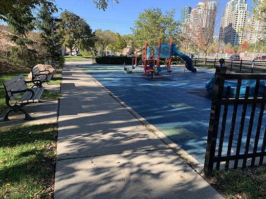 Kempford ParketteYangam4 · CC BY-SA 4.0
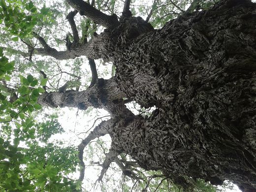 Knob Hill ParkRen12385 · CC BY-SA 4.0
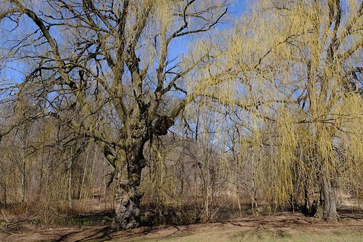 Lambton ParkPeter Balcerzak from Toronto, Canada · CC BY-SA 2.0
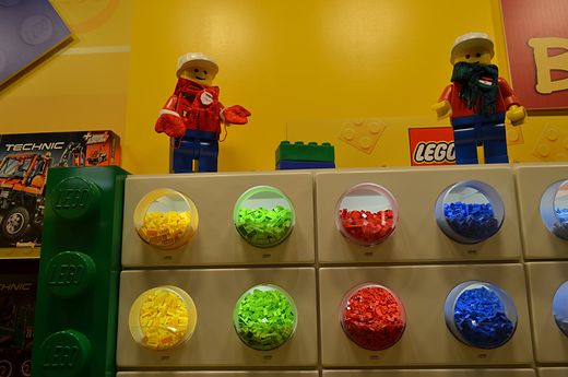 LEGOLAND Discovery Centre TorontoRaysonho @ Open Grid Scheduler / Grid Engine · CC0
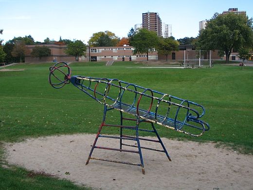 Lescon ParkRichardBH from Hamilton, Canada · CC BY 2.0
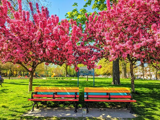 Leslie Grove ParkAdamqcohen · CC BY-SA 4.0
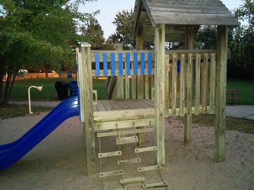 Leslie ParkSktskt · CC BY-SA 4.0
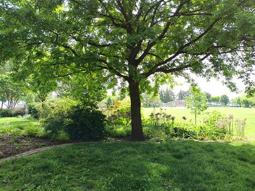 Little Norway ParkAcediscovery · CC BY 4.0
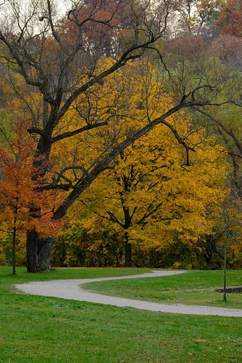 Magwood ParkPeter Balcerzak · CC BY-SA 3.0
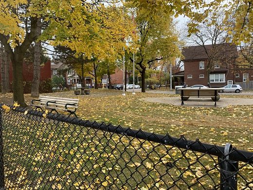 Malta ParkZipZapz · CC BY-SA 4.0
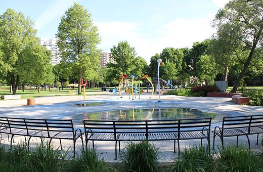 Marie Curtis ParkPkvan · CC BY-SA 4.0
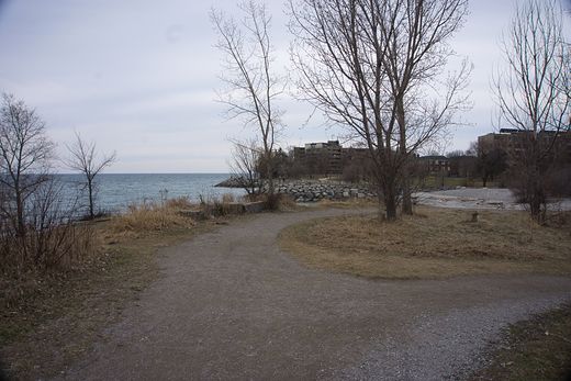 Mimico Waterfront ParkChicken4War · CC BY-SA 4.0
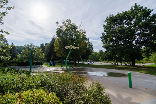 Morningside ParkJeff Hitchcock from Seattle, WA, USA · CC BY 2.0
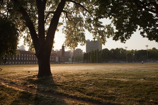 Moss ParkRick Harris · CC BY-SA 2.0
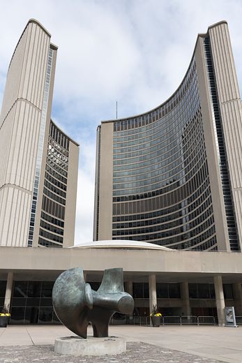 Nathan Phillips SquareGiorgio Galeotti · CC BY-SA 4.0
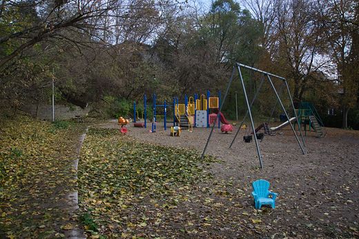 Ormskirk ParkChicken4War · CC BY-SA 4.0
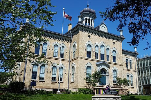 Peel Art Gallery Museum and Archives (PAMA)Peter K Burian · CC BY-SA 4.0
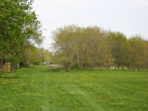 Pine Point ParkSimonP · CC BY-SA 3.0
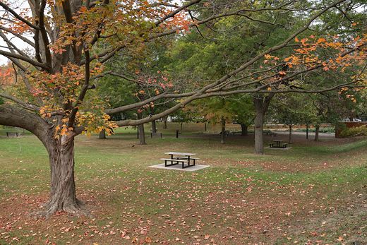 Ramsden ParkGiorgio Galeotti · CC BY-SA 4.0
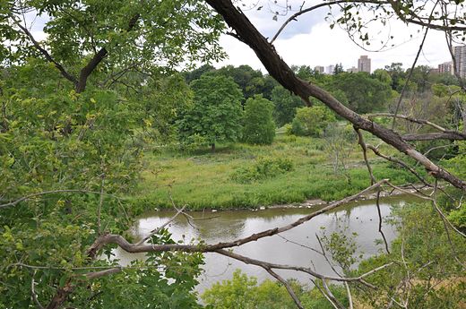 Raymore ParkRisker ( talk ) · CC BY-SA 3.0
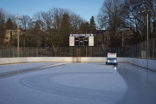 Rennie ParkChicken4War · CC BY-SA 4.0
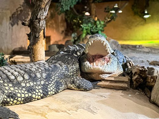 Reptilia VaughanReptilia Zoo staff · CC BY-SA 4.0
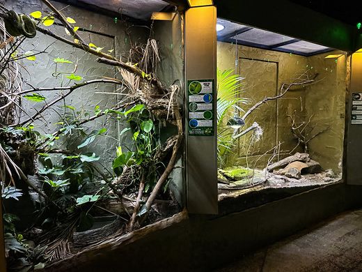 Reptilia WhitbyReptilia Zoo staff · CC BY-SA 4.0
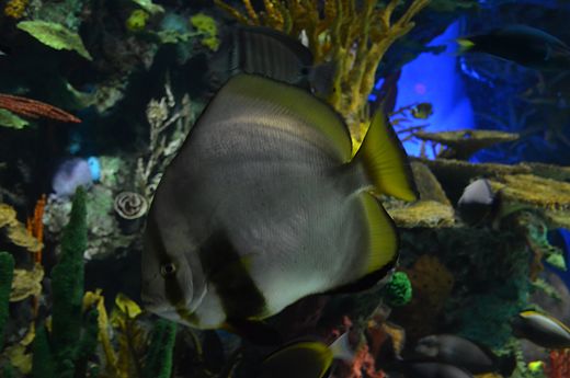 Ripley's Aquarium of Canadashankar s. from Dubai, united arab emirates · CC BY 2.0
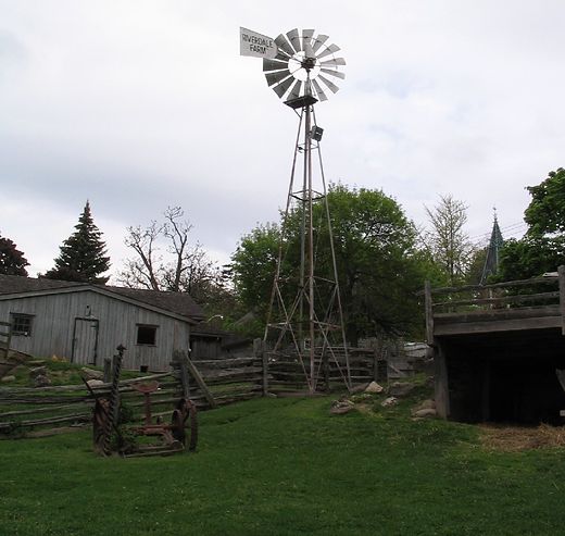 Riverdale FarmLuke Hollins from Toronto, Toronto · CC BY-SA 2.0
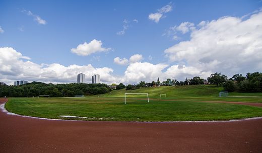 Riverdale Park EastJeff Hitchcock from Seattle, WA, USA · CC BY 2.0
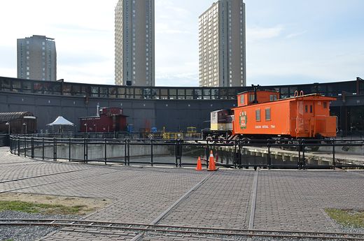 Roundhouse Parkshankar s. from Dubai, united arab emirates · CC BY 2.0
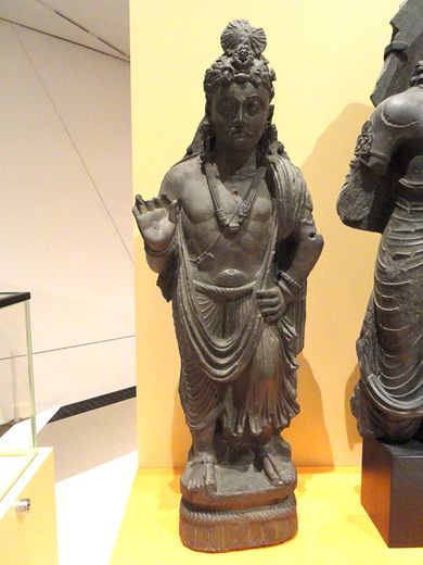 Royal Ontario MuseumDaderot · CC0
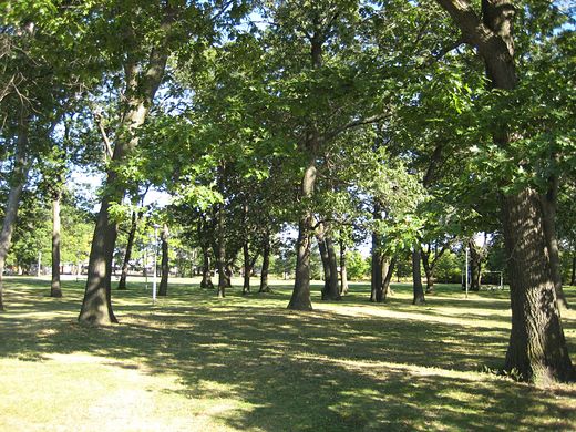 Runnymede ParkSimonP · CC BY-SA 3.0
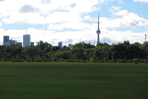 Sir Winston Churchill ParkBohao Zhao · CC BY 3.0
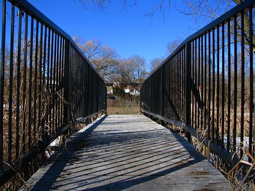 Smythe ParkMichael from Calgary, AB, Canada · CC BY 2.0
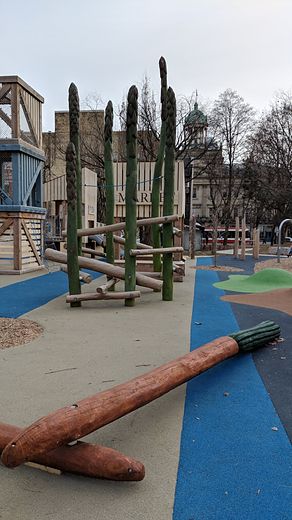 St. James ParkChester from Toronto, Canada · CC BY 2.0
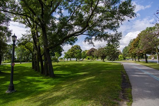 Sunnyside ParkJeff Hitchcock from Seattle, WA, USA · CC BY 2.0
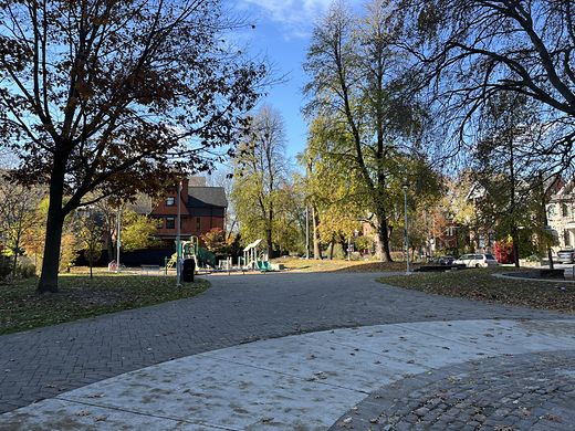 Taddle Creek ParkAnother Believer · CC BY-SA 4.0
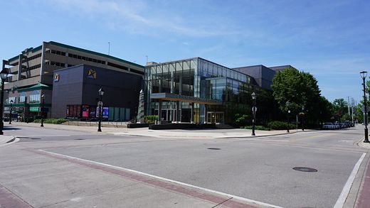 The Burlington Performing Arts CentreJFVoll · CC BY-SA 4.0
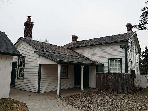 Thomson Memorial ParkLeventio · CC BY-SA 4.0
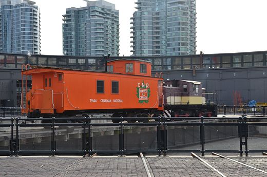 Toronto Railway Museumshankar s. from Dubai, united arab emirates · CC BY 2.0
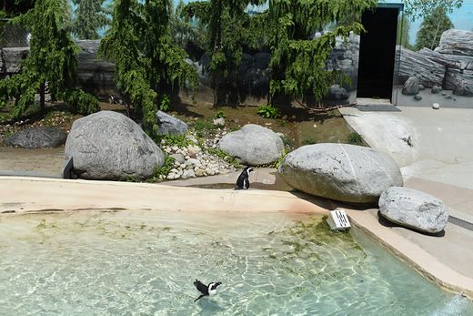 Toronto ZooMilan Suvajac · CC BY-SA 4.0
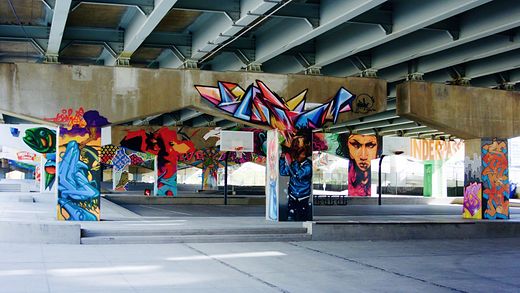 Underpass ParkKevin Costain · CC BY 2.0
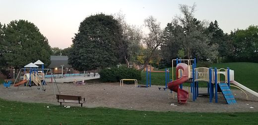 Van Horne ParkSilver Dovelet · CC BY-SA 4.0
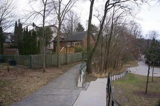 Willard Gardens ParketteChicken4War · CC BY-SA 4.0
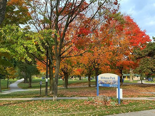 Withrow ParkVladislav Litvinov · CC0
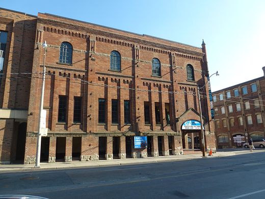 Young People's TheatreGeo Swan ( talk ) · Public domain
Businesses — street view at the address (Mapillary)
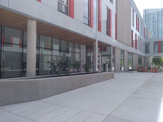 Canoe Landing Community Recreation Centrejarekp · CC BY-SA 4.0
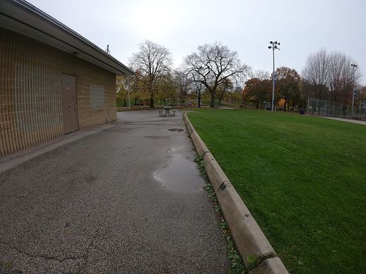 Christie Pits Parkbootprint · CC BY-SA 4.0
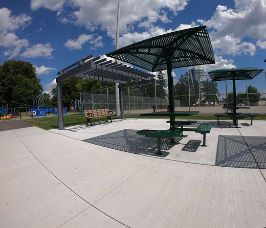 Cloverdale Parkbootprint · CC BY-SA 4.0
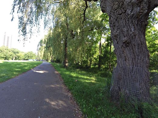 Cruickshank Parkkevo · CC BY-SA 4.0
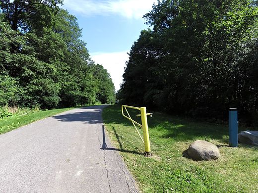 Humberline Parkkevo · CC BY-SA 4.0
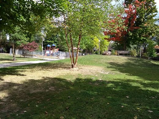 Humewood Parkjarekp · CC BY-SA 4.0
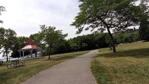 Long Branch Parkbootprint · CC BY-SA 4.0
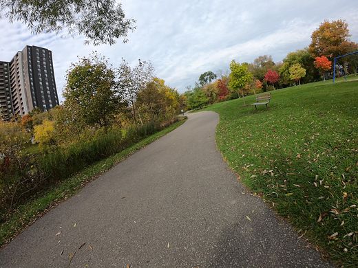 Maurice J. Breen Parkbootprint · CC BY-SA 4.0
Businesses — from their own websites
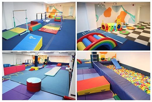 Kidnasium (Gerrard Street)Kidnasium · © the business, from its website
Maps, icons and data
Map tiles © OpenStreetMap contributors, Open Database Licence. Playgrounds and their locations: City of Toronto, Parks and Recreation Facilities; contains information licensed under the Open Government Licence – Toronto. Other locations: Natural Resources Canada's geolocation service, Open Government Licence – Canada. Neighbourhoods and intersections in Toronto: City of Toronto, Neighbourhoods and Intersection File (Open Government Licence – Toronto); main-road intersections elsewhere © OpenStreetMap contributors (Open Database Licence). Subway stations © OpenStreetMap contributors (Open Database Licence); outdoor ice rinks: City of Toronto, Outdoor Ice Rinks; bus and streetcar stops: TTC Routes and Schedules; libraries: Toronto Public Library branch information; Bike Share Toronto stations (all Open Government Licence – Toronto). GO train stations: Metrolinx GO Transit open data. Icons: Lucide (ISC licence).